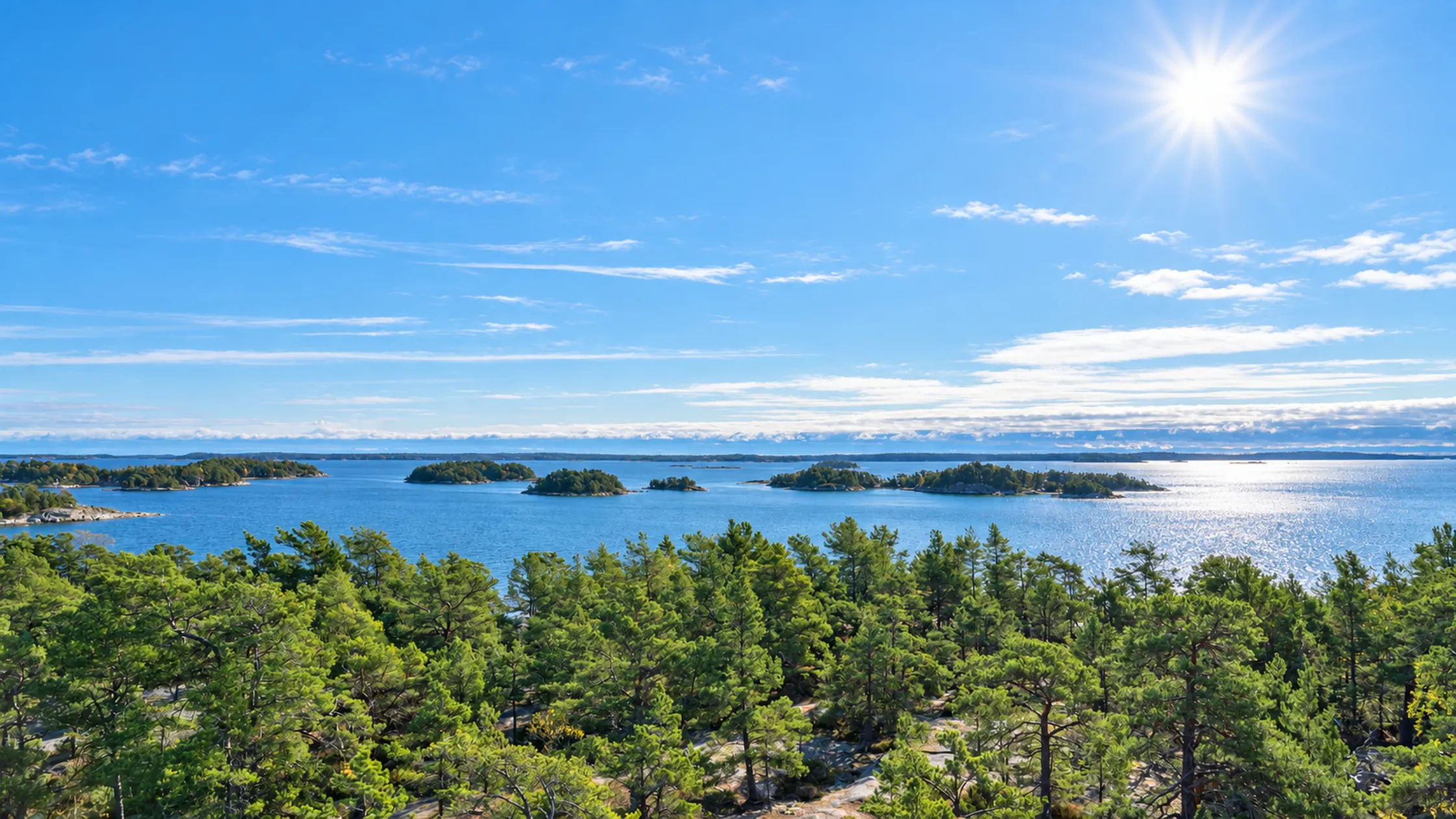
At a glance: Björnö nature reserve on Ingarö
Björnö is at the far end of Ingarö in Värmdö Municipality and is managed by the Archipelago Foundation. The reserve covers 948 hectares, of which 316 hectares are land, and it sits on a peninsula – which is why it is easy to reach even without a boat.
The reserve in numbers
Björnö nature reserve covers 948 hectares and sits on a peninsula, which makes it easy to reach even without a boat.
948 hectares
Water 632
Land 316
The Archipelago Foundation manages the reserve and describes its nature as typical of the middle archipelago, with conifer forests, open farmland and shore meadows.
What is there on Björnö?
| In the reserve | |
|---|---|
| Sandy beach and cliff bathingTorpesand, looking out over Nämdöfjärden, and rocks along the coast. | |
| Snorkel trailAt Torpesand, adapted for people with reduced mobility and visual impairments according to Värmdö Municipality. | |
| Marked trails and viewing towerSeveral trails towards Småängsuddarna and the viewing tower. | |
| Camping spots and picnic areasCamping spots in several places, picnic areas with fireplaces. | |
| Restaurant or caféNone inside the reserve – bring a packed lunch. | – |
| Kayak rentalThe Archipelago Foundation mentions no rental in the reserve. | Not stated |
- Swimming
- The sandy beach at Torpesand looking out over Nämdöfjärden, and rocks along the coast.
- Snorkel trail
- At Torpesand.
- Trails
- Several marked hiking trails to Småängsuddarna and a viewing tower.
- Overnight
- Camping spots in several places.
- Food
- There is no restaurant or café inside the reserve.
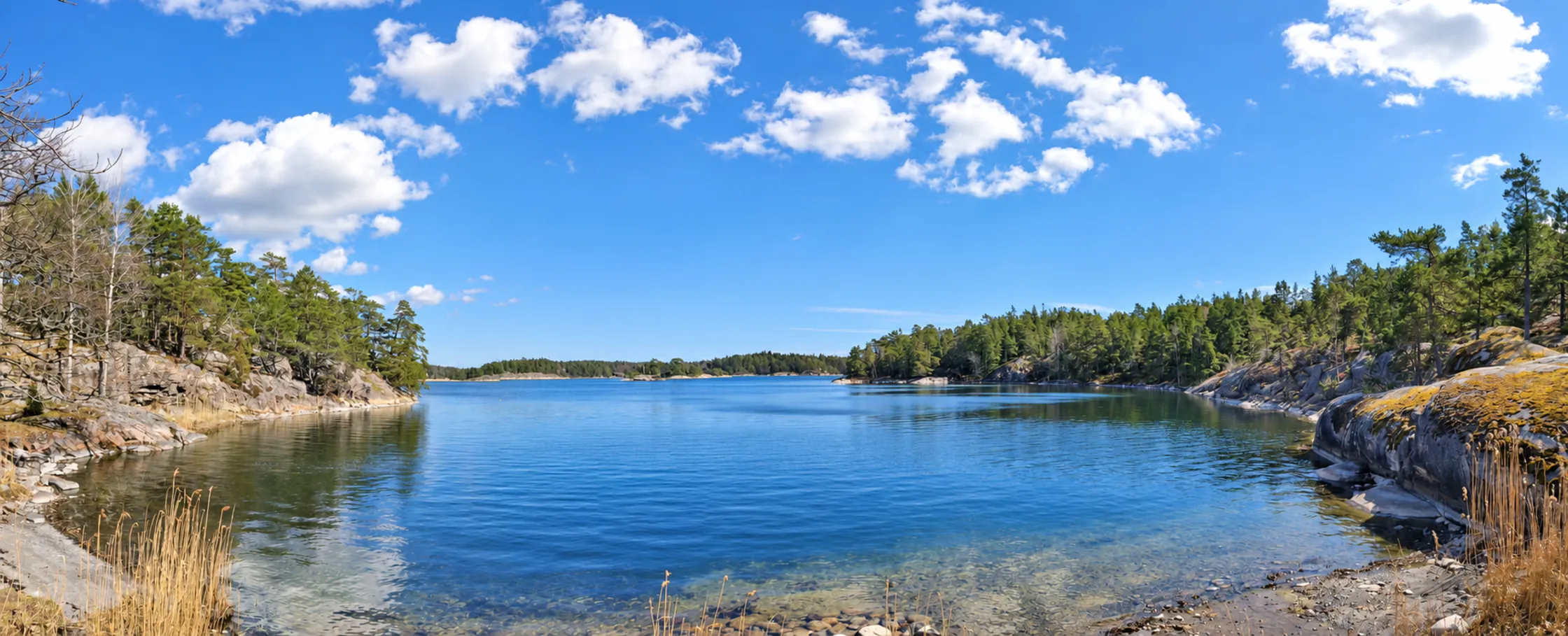
Getting to Björnö nature reserve: bus, car and parking
Buses 428 and 429 towards Björkvik take about 40 minutes from Gustavsberg to the Björnö naturreservat stop, and the beach is about a kilometre from there. By car, take road 222 and then road 646 south.
Getting out to Björnö nature reserve on south-eastern Ingarö is easy, whether you choose public transport or your own car. Here are the best routes, travel times and what applies to parking.
By bus from Slussen to Björnö
Bus: Bus: Bus 429 from Slussen via Gustavsberg. Stop: The Archipelago Foundation gives the stop Björnö naturreservat, within walking distance of the area. The County Administrative Board gives the bus towards Björkviks brygga and the stop Björkviks gård – search for your trip in SL's journey planner. Travel time: Not given by the County Administrative Board or the Archipelago Foundation. Värmdö Municipality gives buses 428 and 429 towards Björkvik with the stop Björnö naturreservat, about 40 minutes from Gustavsberg, and says the beach is about a kilometre from the stop – follow the signs.
By car: From Värmdöleden, turn off towards Ingarö. The turn-off to the reserve is signposted just before Björkviks havsbad. Värmdö Municipality describes the route as road 222 towards Värmdö, exit Gustavsberg/Ingarö, south on road 646 and left towards Björnö naturreservat before Björkvik.
Parking: There is parking at the reserve entrance, and it is paid. Parking is prohibited in the reserve except at designated places. Värmdö Municipality says parking is paid from spring to autumn.
Swimming and the snorkel trail in Björnö nature reserve
Torpesand has a sandy beach and rocks close to the car park, and boats may not be driven or anchored closer than 50 metres to the sandy beaches.
Björnö has both a sandy beach and cliff bathing.
Run by the Archipelago Foundation
Torpesand – sandy beach and rocks
Torpesand is a popular swimming spot with a sandy beach and rocks, and according to the Archipelago Foundation a popular spot for families with children. It is easy to reach from the car park. Boats may not be driven or anchored closer than 50 metres to the sandy beaches. Värmdö Municipality says the beach is owned and run by the Archipelago Foundation.
Accessible
The snorkel trail at Torpesand
At Torpesand there is a snorkel trail where you can discover life under the surface of the Baltic – the Archipelago Foundation describes it as very popular. Bring a mask and snorkel. There are information signs at the Torpesand car park. According to Värmdö Municipality, the snorkel trail is adapted for people with reduced mobility and visual impairments.
Swimming from the rocks
Rocks along the coast
The Archipelago Foundation says the rocks along the coast attract swimmers and visitors arriving by boat.
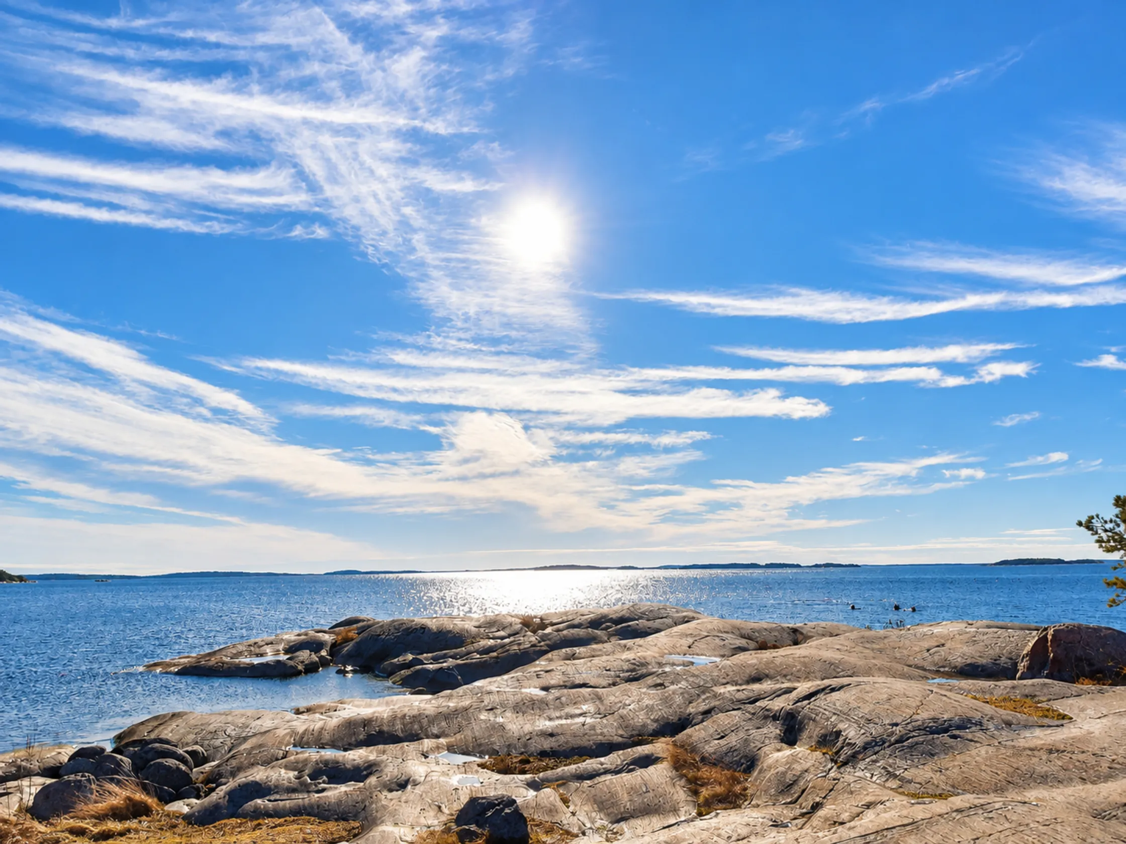
Hiking in Björnö nature reserve: trails and viewpoints
The peninsula is criss-crossed by a network of paths and gravel roads through forest, meadows and coastal landscape.
Trails, views and nature
Marked trails
Several marked hiking trails run from Torpesand through the reserve to Småängsuddarna and the viewing tower, with wide views over the archipelago. Along the way you pass pastures, shore meadows and forest.
Nature to look for
On Näset the elder-flowered orchid (Adam och Eva) blooms in the pastures in early summer, and silverweed turns the shore meadows yellow later in the summer. Clearance cairns, stone walls and wild fruit trees show that people once lived in the area. The County Administrative Board also mentions sea arrowgrass, marsh pea and the fern adder's-tongue, and says hepatica and mezereon flower early in spring, followed later by spring pea, coralroot bittercress and woodruff.
Mezereon berries
The County Administrative Board points out that mezereon's red berries in late summer are highly poisonous to people, but harmless to birds.
Map
Björnö nature reserve is on Naturkartan, which can also be downloaded as an app.
Services and facilities in Björnö nature reserve
Plan to be self-sufficient – there is no restaurant or café in the reserve.
Bring a packed lunch
Food and coffee
The Archipelago Foundation says there is no restaurant or café inside the nature reserve. Bring your own packed lunch. There are restaurants and services nearby on Ingarö.
Designated sites only
Barbecue areas and fires
The Archipelago Foundation lists picnic areas and barbecue areas with fireplaces in the reserve. Under the regulations it is forbidden to light fires except at specially designated and prepared sites. Whether firewood is provided is not stated – bring your own.
Camping and kayaking at Björnö
Camping or paddling gives you a different experience of the reserve.
Designated areas
Camping on Björnö
Under the County Administrative Board's regulations it is forbidden to camp except within designated areas, and without the landowner's permission you may not camp for more than two nights in the same place. The Archipelago Foundation lists camping spots in several places in the area.
Natural harbours
Kayaking at Björnö: sheltered bays and Nämdöfjärden
The Archipelago Foundation describes Björnö as a popular area for paddling and boating, with natural harbours and sheltered bays. Here you can reach both calm bays and more open water towards Nämdöfjärden.
- Rental
- The Archipelago Foundation mentions no kayak rental in the reserve – plan to bring your own kayak or rent one elsewhere in advance.
- Paddling routes
- Beginners are best off in the sheltered bays, while more experienced paddlers can cross the bays to nearby islands.
Key rules and regulations in Björnö nature reserve
You may only camp in designated areas and for at most two nights in the same place, dogs must be on a lead, and landing on the Kalvholmsgrunden bird skerries is forbidden from 1 April to 15 July.
The County Administrative Board's regulations apply in the reserve. Among other things, it is forbidden to:
The regulations in brief
| What applies | |
|---|---|
| Fires | Only at designated, prepared sites |
| Tents | Within designated areas, at most two nights in the same place |
| Dogs | On a lead |
| Parking | Only at designated places |
| Boats near sandy beaches | No closer than 50 metres |
| Motorboats on Slängen | Prohibited |
| Motorboats on Torpe-Infjärden | Max five knots |
| Kalvholmsgrunden | No landing 1 April–15 July |
Fires, tents and dogs – it is forbidden to light fires except at specially designated and prepared sites; camp except within designated areas, or for more than two nights in the same place; bring a dog that is not on a lead; or park except at designated places.
For boaters – it is forbidden to moor at the same shore for more than two days; drive or anchor a boat closer than 50 metres to the sandy beaches; or land on the Kalvholmsgrunden bird skerries 1 April–15 July. On Torpe-Infjärden motorboats may not go faster than five knots, and on Slängen they are not allowed at all.
The County Administrative Board also says it is forbidden to drive motor vehicles except on designated roads, to ride horses on the sandy beaches and marked hiking trails, and to disturb wildlife, for example by climbing trees with nests.
Planning your trip to Björnö nature reserve: routes, seasons and family tips
Björnö is a destination all year, according to the Archipelago Foundation.
Seasons – the County Administrative Board highlights the Adam och Eva orchid flowering in early summer and silverweed later in the summer. The Archipelago Foundation describes Björnö as just as popular for summer swimming as for autumn walks and winter stillness.
Two plans
Half day or full day
- Half day
- A marked trail to Småängsuddarna and the viewing tower.
- Full day
- Swimming and snorkelling at Torpesand, a packed lunch at a picnic area and a walk along the trails.
Torpesand
Björnö with kids
- Torpesand
- A popular spot for families with children, with a sandy beach and a snorkel trail.
- Food
- Bring everything – there is no restaurant or café in the reserve.
Frequently asked questions about Björnö nature reserve
6 questions
01Does it cost anything to visit Björnö nature reserve?
It costs nothing to be in the reserve, but parking is paid.
02Can you camp anywhere in the reserve?
No. Under the regulations you may only camp within designated areas, and not for more than two nights in the same place without the landowner's permission.
03Is there a restaurant or café on Björnö?
No. The Archipelago Foundation says there is no restaurant or café inside the nature reserve. There are restaurants and services nearby on Ingarö.
04How do you get to Björnö without a car?
By bus 429 from Slussen via Gustavsberg. The Archipelago Foundation gives the stop Björnö naturreservat within walking distance of the area, while the County Administrative Board gives the stop Björkviks gård – search for the trip in SL's journey planner.
05How far is it from the bus stop to the beach?
Värmdö Municipality says the beach at Torpesand is about a kilometre from the stop Björnö naturreservat – follow the signs. Buses 428 and 429 towards Björkvik stop there, and the travel time is about 40 minutes from Gustavsberg.
06Is the snorkel trail suitable for more than confident swimmers?
Värmdö Municipality describes the snorkel trail at Torpesand as adapted for people with reduced mobility and visual impairments. Bring a mask and snorkel – according to the Archipelago Foundation there is no equipment to rent in the reserve.
Sources
Details checked against these sources in September 2026.
The facts on this page are based on these sources. Under each one you can see which details we took from it. Opening times, prices and departures change – always check with the source before you go.
- County Administrative Board of Stockholm: Björnö nature reserve – regulations · in Swedish"camp except within designated areas… no longer than two nights in the same place"; "light fires except at specially designated and prepared sites"; "bring a dog that is not on a lead"; bus from Slussen towards Björkviks brygga, stop Björkviks gård; paid parking
- SL timetable bus 429 · in Swedishthe stop Björkviks brygga is on the route; valid 17 August–12 December 2026
- The Archipelago Foundation: Björnö · in Swedishsandy beach and rocks at Torpesand, snorkel trail; marked trails to Småängsuddarna and a viewing tower; camping spots; no restaurant or café; parking at the entrance; bus to the stop Björnö naturreservat
- Värmdö Municipality: Torpesand · in Swedishbeach and cliff bathing in Björnö nature reserve; accessible snorkel trail for people with reduced mobility and visual impairments; buses 428 and 429 towards Björkvik, stop Björnö naturreservat, approx. 40 min from Gustavsberg, the beach approx. 1 km from the stop; road 222 → Ingarö → road 646; parking paid spring–autumn; the beach owned and run by the Archipelago Foundation